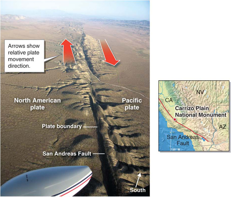
Figure 11.13
A lithospheric plate boundary. The San Andreas Fault, which runs down the length of western central and southern California, is the boundary between the North American plate and the Pacific plate. Relative to the North American plate, the Pacific plate is moving north. This photo was taken looking southeast near the Carrizo Plain National Monument from an altitude of about 1,680 m (5,500 ft).(© David K. Lynch)