Mapping the West: Europe, c. 1492
Printed Page 437
Important EventsMapping the West: Europe, c. 1492
MAPPING THE WEST Europe, c. 1492
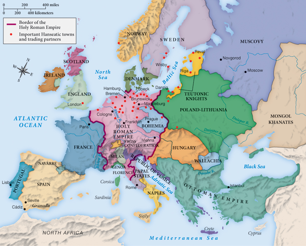
By the end of the fifteenth century, the shape of early modern Europe was largely fixed as it would remain until the eighteenth century. The chief exception was the disappearance of an independent Hungarian kingdom after 1529.
Analyzing the Map: What had taken the place of the Byzantine Empire by 1492?
Question
Analyzing the Map: What had taken the place of the Byzantine Empire by 1492?
accept_blank_answers: true
points: 10
Analyzing the Map: What had taken the place of the Byzantine Empire by 1492?
Making Connections: What do the pink dots on this map represent, and why are they important?
Question
Making Connections: What do the pink dots on this map represent, and why are they important?
accept_blank_answers: true
points: 10
Making Connections: What do the pink dots on this map represent, and why are they important?