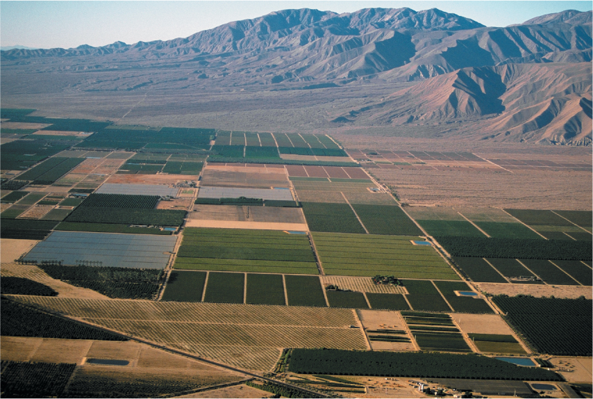
Figure 8.31:
American township and range survey creates a checkerboard.
The checkerboard is illustrated well by irrigated agriculture in the desert of California’s Imperial Valley.
(Glowimages/Getty Images.)