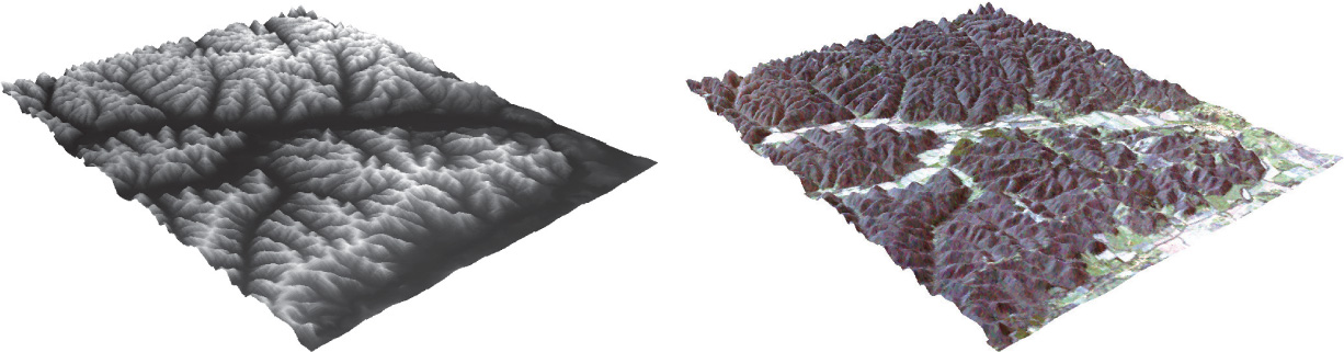
FIGURE 13.12
A DEM of the Laurelville/Hocking region of Ohio and a Landsat TM image draped over the DEM.
(Source: USGS, NASA/Esri)