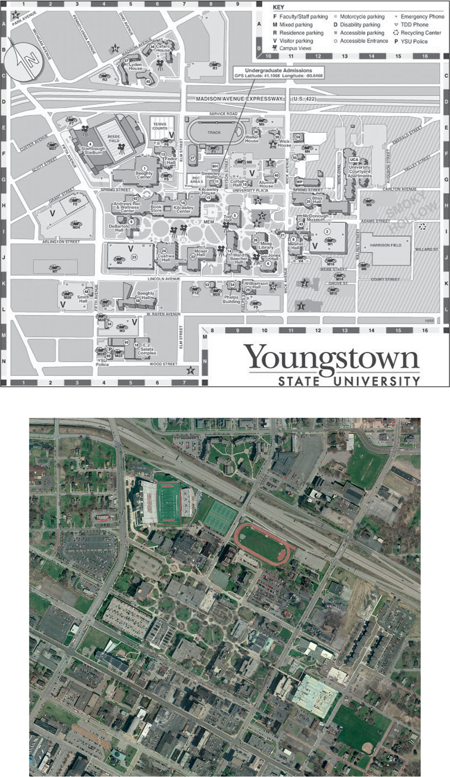
FIGURE 3.3
The map of Youngstown State University is unreferenced. The fully-referenced aerial image of the same area is a potential source for the references the map requires.
(Source: Mahoning County Enterprise GIS, April 2004)