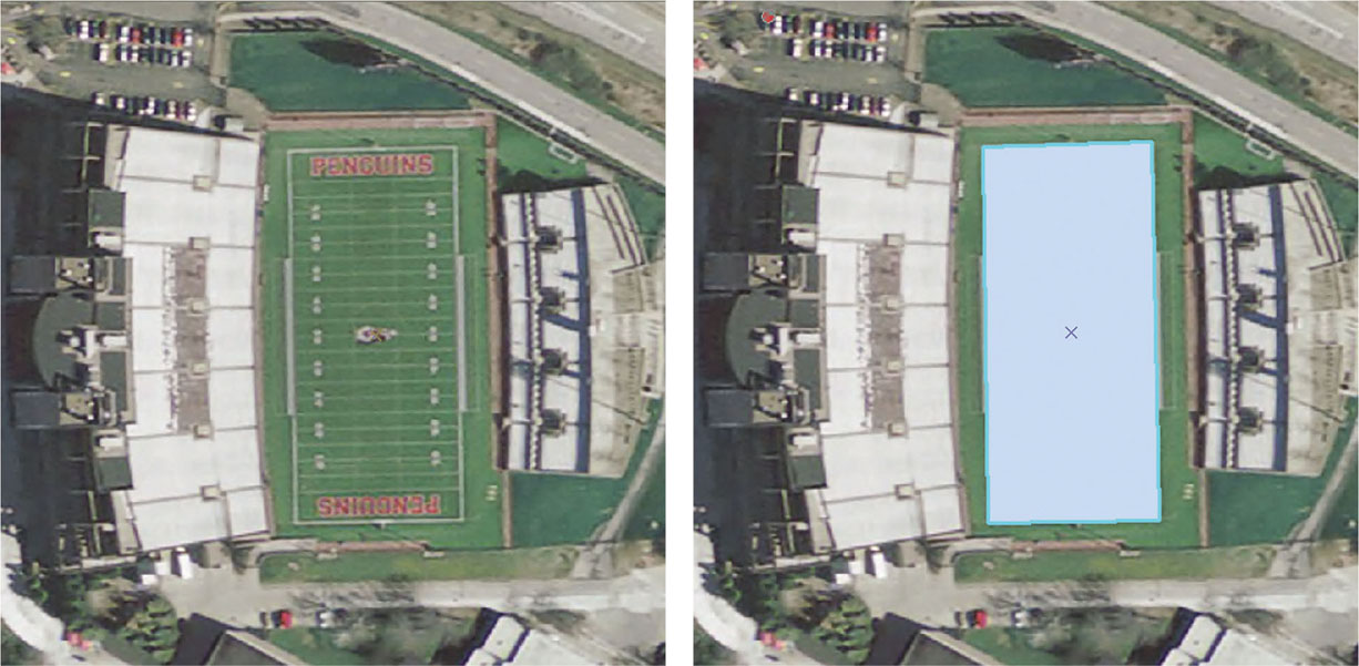
FIGURE 5.4 An example of heads-up digitizing—tracing the boundary of the football field on Youngstown State University’s (YSU’s) campus to create a polygon object.(Source: Ohio Geographically Referenced Information Program (OGRIP), Ohio Statewide Imagery Program (OSIP), Esri)