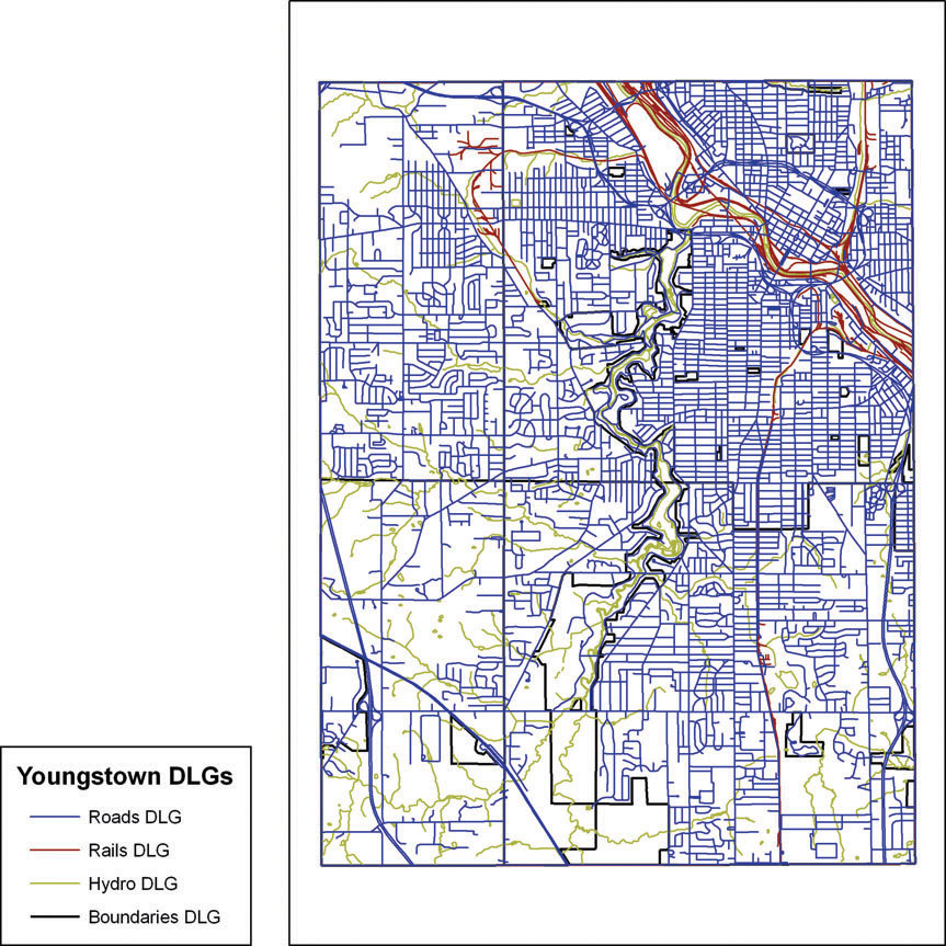
FIGURE 5.5
1: 24,000 Digital Line Graph data (showing roads, railroads, boundaries, and hydrologic features) of Youngstown, Ohio.
(Source: USGS/Esri)