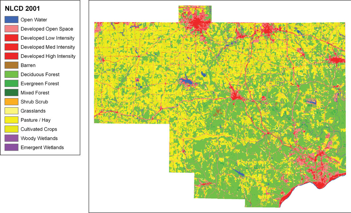
FIGURE 5.7
A section of the 2001 NLCD showing land cover in Columbiana County, Ohio, modeled with raster grid cells.
(Source: USGS/Esri)