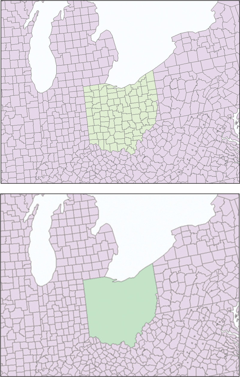
FIGURE 6.4
Before and after the dissolve operation—Ohio county boundaries are dissolved on the basis of their state’s FIPS code.
(Source: Esri)