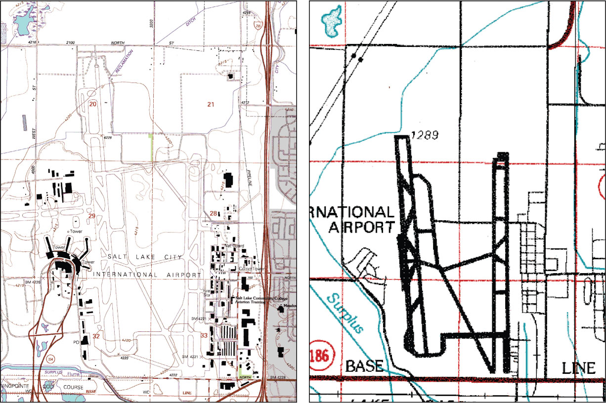
FIGURE 7.1
Salt Lake City International Airport—a comparison of its representation on a 1:24,000 scale map (left) and a 1:100,000 scale map (right).
(Source: Utah State Geographic Information Database
[
SGID
]
)