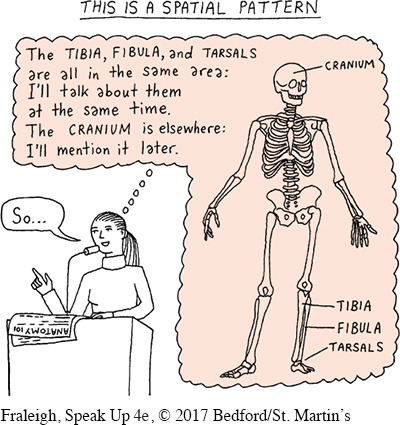
Spatial Pattern
In a spatial pattern, the main points represent important aspects of your topic that can be thought of as adjacent to one another in location or geography. This approach is effective with speech topics that can be broken down into specific parts that relate to each other spatially. You take the audience from one part to the next—
For example, a geologist might use a spatial pattern to discuss seismic zones in the continental United States:
The Ramapo Fault goes through New York, New Jersey, and Pennsylvania.
The New Madrid earthquake region includes eight states in the central United States.
The Wasatch Fault runs just west of the Rockies.
The West Coast has both the Cascadia subduction zone and the San Andreas Fault.
264
