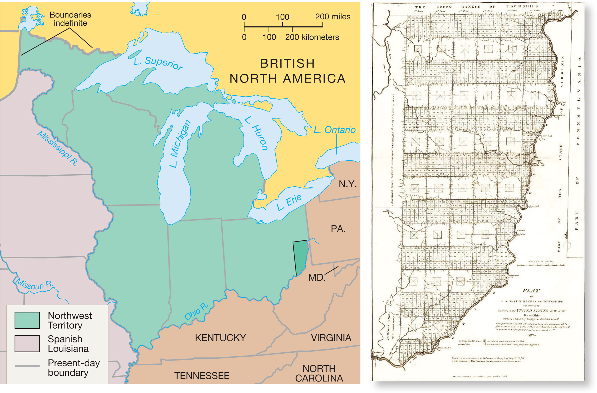
MAP 8.2 The Northwest Territory and Ordinance of 1785 Surveyors ventured into the eastern edge of the Northwest Territory in the 1780s and produced this first map (right) showing neat 6- mile square townships, each subdivided into one- mile squares containing sixteen 40- acre farms. Jefferson got his straight lines and right angles after all; compare this map to his on page 210. Plat Map © TNGenNet Inc. 2002.