498

STREAM TRANSPORT: FROM MOUNTAINS TO OCEANS
 The Form of Streams
 Where Do Channels Begin? How Running Water Erodes Soil and Rock
 How Currents Flow and Transport Sediment
 Deltas: The Mouths of Rivers
 Streams as Geosystems
499
BEFORE CARS AND AIRPLANES EXISTED, people traveled on rivers. In 1803, the United States purchased the Louisiana Territory from France. It was a huge tract of over 2 million square kilometers, taking in portions of what today is Texas and Louisiana and extending up to Montana and North Dakota. In 1804, President Thomas Jefferson asked Meriwether Lewis and William Clark to lead an expedition across this new territory and into western North America. One of their most important goals was to map the western rivers, which provided the key to opening up this uncharted frontier. Lewis and Clark decided to follow the Missouri River and its headwaters to their source. They then crossed the Rocky Mountains and followed the Columbia River westward to the Pacific Ocean. The total trip was 6000 km—with the section along the Missouri River alone extending over 3200 km—and upstream all the way.
The writings and maps produced by Lewis and Clark created a body of knowledge that could have been obtained only by following one of the great rivers that drain the interior of North America. On other continents and in other countries, other big rivers evoke a similar sense of adventure: in South America, the Amazon; in Asia, the Yangtze and Indus; and in Africa, the fabled Nile. Yet streams and rivers are not only the access routes for legendary explorations, but also the places where people settle and make their homes. A body of water flows through almost every town and city in most parts of the world. These streams have served as commercial waterways for barges and steamers and as water resources for resident populations and industries. The sediments they have deposited during floods have built fertile lands for agriculture. Living near a river also entails risks, however. When rivers flood, they destroy lives and property, sometimes on a huge scale.
500
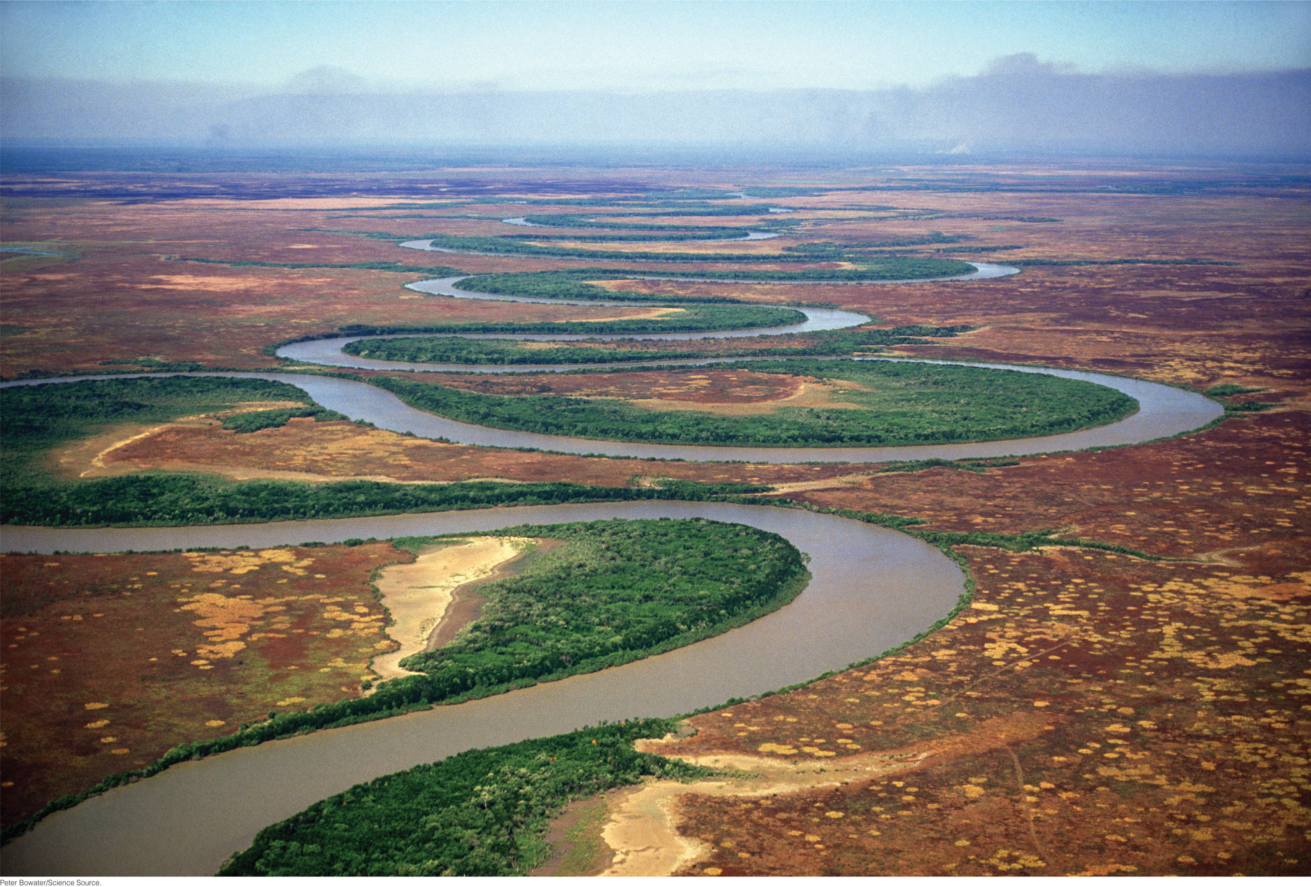
Streams are the lifelines of the continents. Their appearance is a record of the interaction of climate and plate tectonic processes. Tectonic processes lift up the land, producing the steep topography and slopes of mountainous regions. Climate determines where rain and snow will fall. Rainwater runs downhill, eroding the rocks and soils of the mountains, forming channels and carving out valleys as it gathers into streams. Streams carry back to the sea the bulk of the precipitation that falls on land and much of the sediment produced by erosion of the land surface. Streams are so important to understanding the role of climate and water on Earth that their discovery on Mars has fueled a generation of missions to search for evidence of water—and a different climate in the planet’s ancient past.
In this chapter, we focus on how streams form and how they accomplish their geologic work: how, on a large scale, streams carve valleys and develop vast networks of channels; and how, at a smaller scale, streams break up and erode solid rock. We examine how water flows in currents and how currents carry sediment. Then we return to a larger scale to look at streams as geosystems shaped by interactions between the plate tectonic and climate systems.