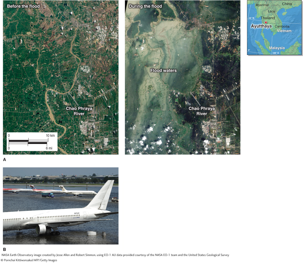
Figure 16.34

Thailand flooding. (A) The city of Ayutthaya, on the Chao Phraya River in southern Thailand, lies 60 km (40 mi) north of Bangkok. It sustained heavy flooding from tropical storm Nock-ten. The satellite image on the left, acquired July 11, 2011, shows normal conditions. The October 23, 2011, image on the right shows the city after it was inundated by floodwaters. (B) Standing floodwaters shut down the Don Muang International Airport, Bangkok’s second largest airport.
(A. NASA Earth Observatory image created by Jesse Allen and Robert Simmon, using EO-1 ALI data provided courtesy of the NASA EO-1 team and the United States Geological Survey; NASA Earth Observatory image created by Jesse Allen and Robert Simmon, using EO-1 ALI data provided courtesy of the NASA EO-1 team and the United States Geological Survey; B. © Pornchai Kittiwonsakul/AFP/Getty Images)