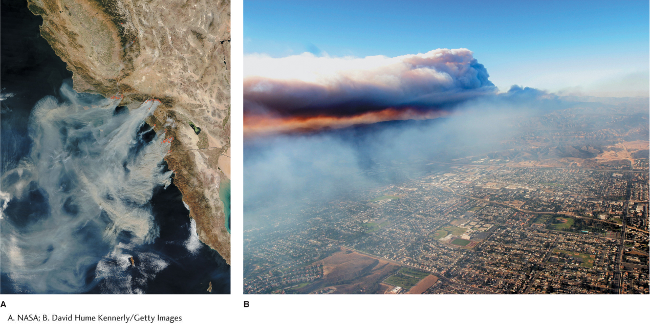
Figure 4.29
October 2003 Santa Ana fires. (A) Outlined in red, fires burning in many areas from southern California to northern Baja California can be seen in this satellite image taken October 26, 2003. The strong offshore airflow is apparent as fire smoke blows over the Pacific Ocean. About 3,000 km2 (1,150 mi2) burned, 3,000 homes were destroyed, and 26 people were killed in the 2003 fires. The cost totaled $2.5 billion. (B) The Cedar fire, shown here, burned in San Diego County in 2003 and was a result of Santa Ana winds. The fire burned 1,134 km2 (438 mi2) and was the largest fire in California history.(A. NASA; B. David Hume Kennerly/Getty Images)