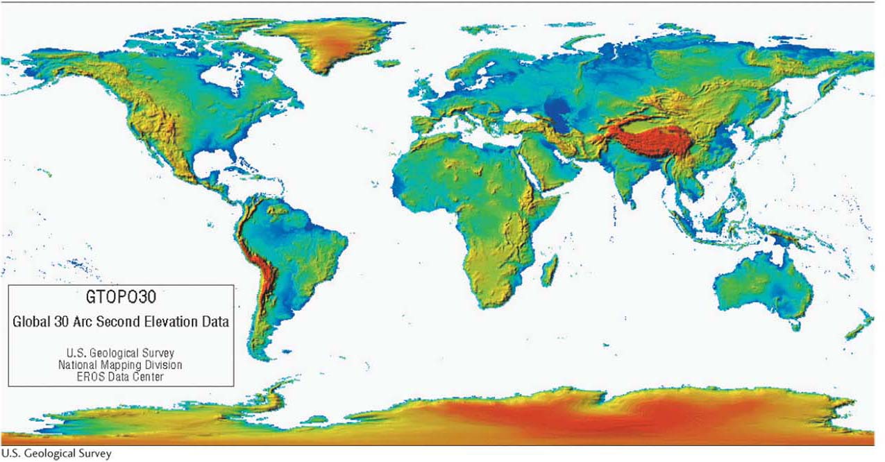
Figure GT.29
A digital elevation model. This global digital elevation model was made from many different types of remotely sensed data. It effectively shows Earth’s surface topography. Red areas are regions with the highest elevation; green and blue areas have the lowest elevation. Earth’s highest regions are the Tibetan Plateau, the Andes, and the Antarctic ice sheet.(U.S. Geological Survey)