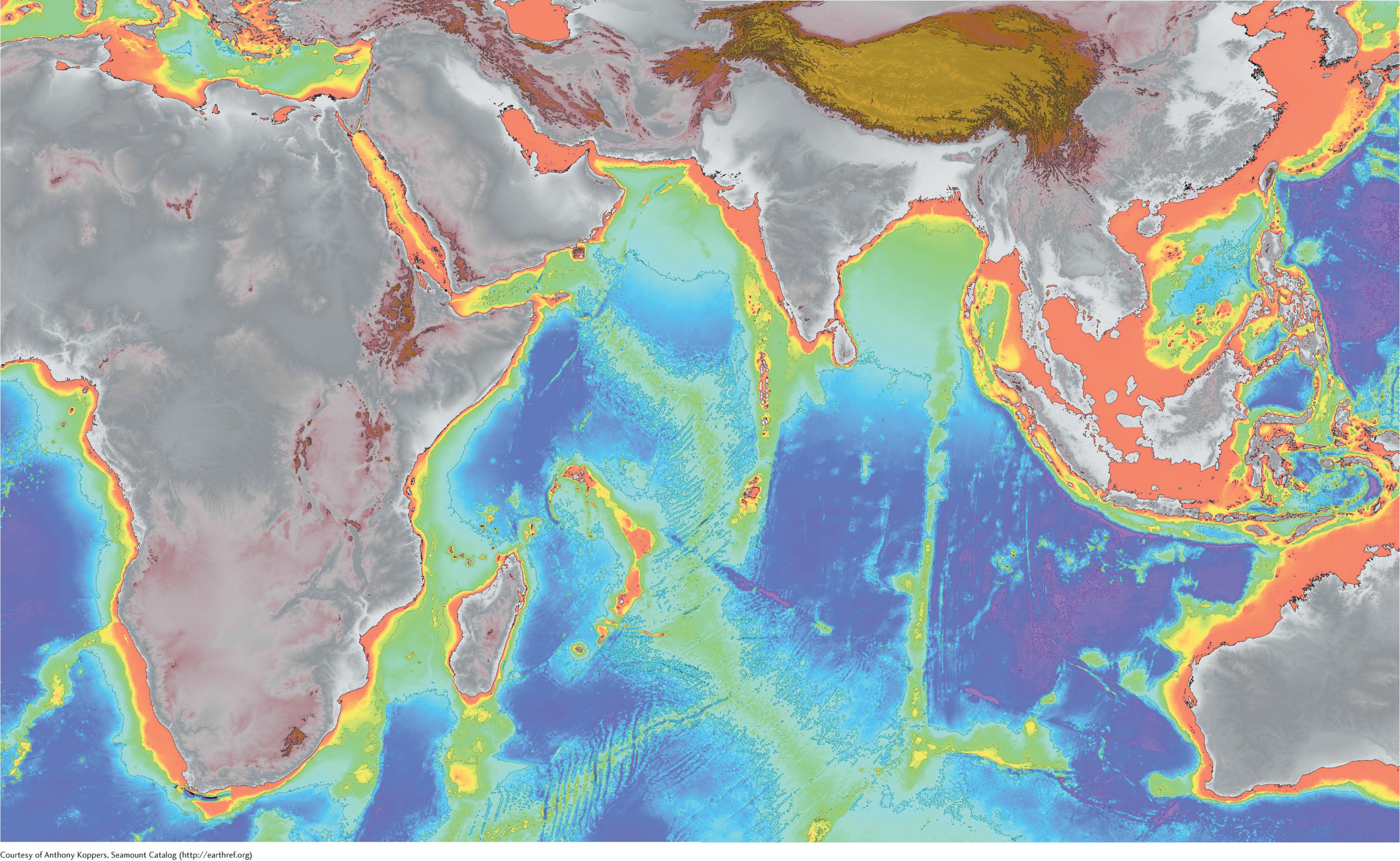
This map is centered on the Indian Ocean. It shows the depth of the oceans (dark purple regions are deepest), and the height of the land surfaces (brown areas are highest). The data used to make this map were acquired by remote sensing technology, which provides invaluable information about the physical Earth.
Courtesy of Anthony Koppers, Seamount Catalog (http://earthref.org)