Mapping the Past for Chapter 22
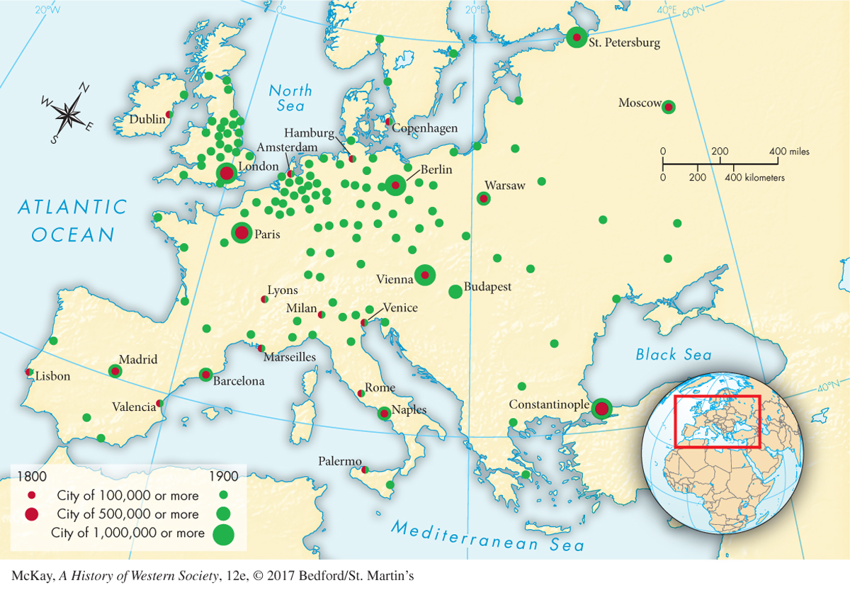
Figure 22.1: MAPPING THE PASTMAP 22.1 European Cities of 100,000 or More, 1800–1900 There were more large cities in Great Britain in 1900 than in all of Europe in 1800.ANALYZING THE MAP Compare the spatial distribution of cities in 1800 with the distribution in 1900. Where in 1900 are large cities concentrated in clusters? What does their distribution tell us about the scale and location of industrialization in nineteenth-