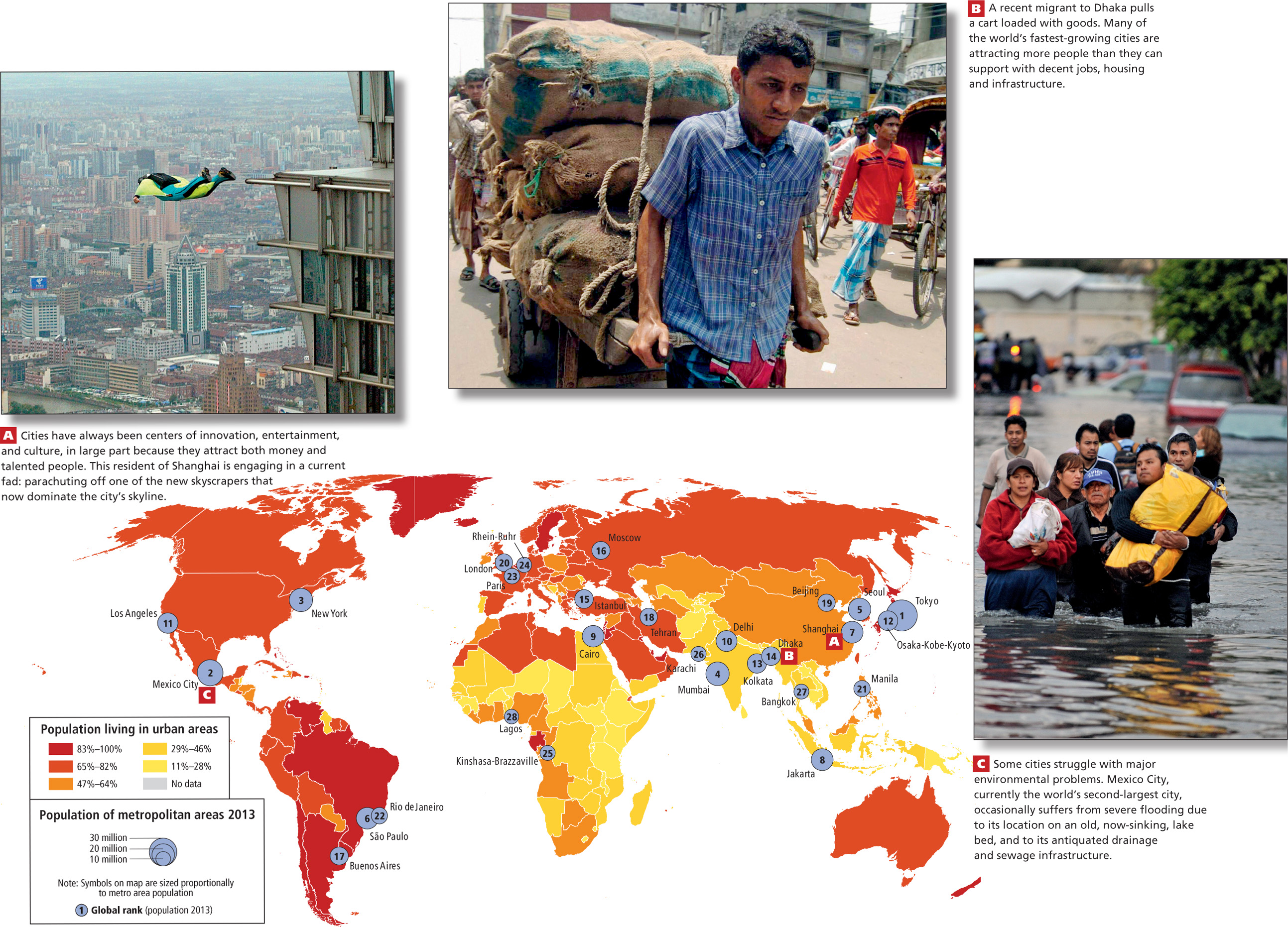
FIGURE 1.15 Photo Essay: Urbanization: Urbanization and urban areas. In the map below, the color of the country indicates the percentage of the population living in urban areas. The circles represent the populations of the world’s largest urban areas in 2013 (blue circle) and 2020 (black circle).
1.15a Courtesy Liu Jin/AFP/Getty Images, 1.15b Courtesy Farjana K. Godhuly/AFP/Getty Images, 1.15c Alfredo Estrella/AFP/Getty Images