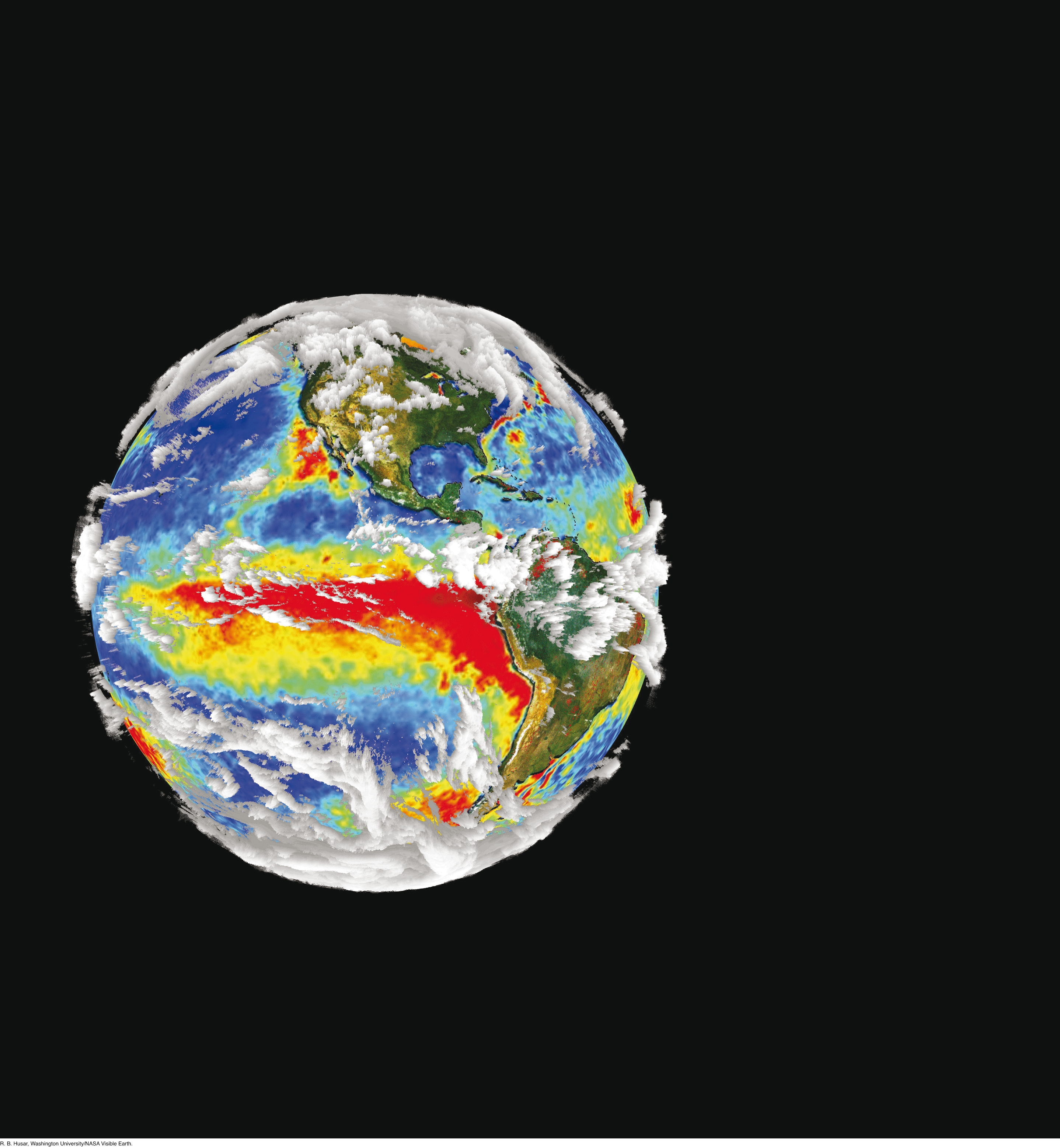
A snapshot of the climate system taken by sensors on several spacecraft, showing cloud cover (in white), variations in sea surface temperature (from the warmest in red to the coolest in dark blue), and land surface properties, including density of vegetation (from the lowest density in brown to the highest in green). [R. B. Husar, Washington University/NASA Visible Earth.]