Atmospheric Circulation and Wind Systems
4
LIVING PHYSICAL GEOGRAPHY
Does Earth’s rotation control the direction in which water spirals down a drain?
Why are tropical rainforests always wet?
Why is southern California so dry and Georgia so wet in summer when both are at the same latitude?
What are gravity winds?
Do wind turbines kill birds?
THE BIG PICTURE
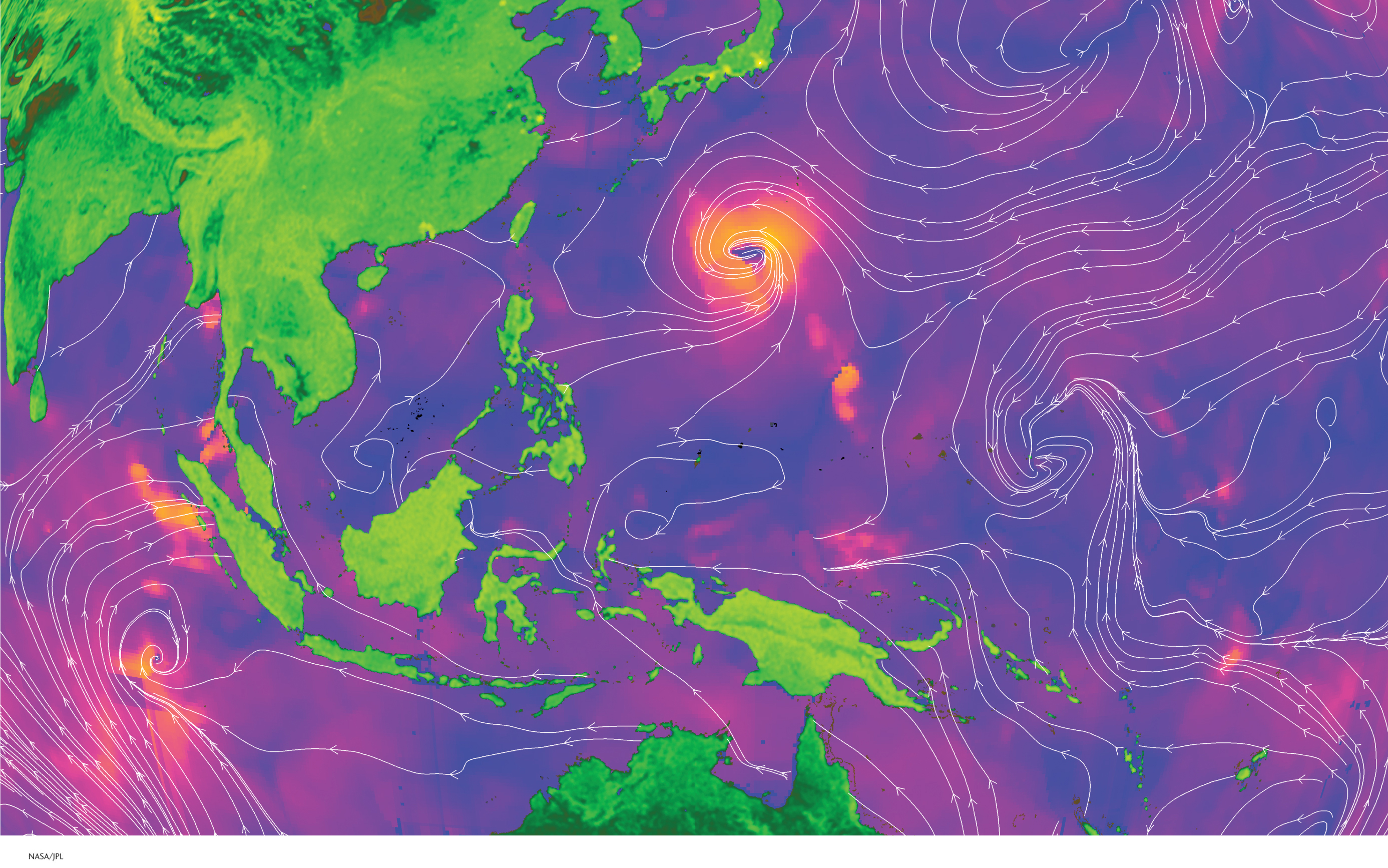
The unequal heating of Earth’s surface and Earth’s rotation drive global wind patterns. The wind is increasingly used as a renewable energy source.
LEARNING GOALS
After reading this chapter, you will be able to:
4.1
Explain why the wind blows and how wind is measured and mapped.
4.2
Explain how surface air pressure changes and describe three controls on wind speed and direction.
4.3
Illustrate global patterns of atmospheric pressure, winds, and precipitation.
4.4
Identify local and regional wind systems and explain how they form.
4.5
Assess the potential of wind as a clean energy source.
THE HUMAN SPHERE:
China’s Dust Storms
WINDBLOWN DUST is a growing problem for eastern Asia, particularly western China (Figure 4.1). About two dozen major dust storms develop each year in the western interior of China.
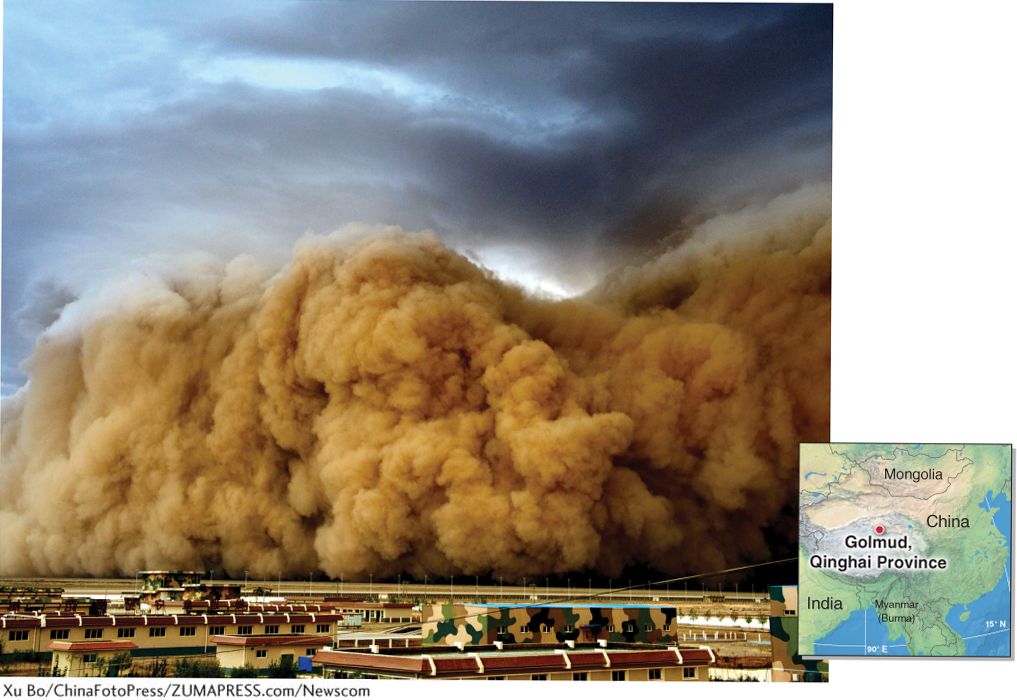
Chinese scientists estimate that dust storms have increased sixfold in the last four decades. Dust storms have always occurred in China, but human activity may be increasing their frequency. The process of desertification plays an important role in their formation. Desertification is the transformation of fertile land to desert, usually as a result of overgrazing, deforestation, or natural drought. Excessive plowing of arid lands, overgrazing by sheep and goats, and an increasing number of droughts are to blame for desertification, and thus for the growing number of dust storms, in western China.
desertification
The transformation of fertile land to desert, usually by overgrazing of livestock, deforestation, or natural drought.
Each year, several dust storms grow large enough to travel across the North Pacific Ocean to North America. In 2007, strong winds suspended an estimated 800,000 metric tons of dust in the air in China’s Taklamakan Desert. Dust from that storm circulated twice around the Northern Hemisphere.
In this chapter, we explore how air pressure differences across Earth’s surface create wind and global atmospheric circulation patterns. In the Geographic Perspectives at the end of this chapter, we assess the potential of wind to provide clean energy for the future.